
ZCZC HFOTWOCP ALL
TTAA00 PHFO DDHHMM
Tropical Weather Outlook
NWS Central Pacific Hurricane Center Honolulu HI
Issued by NWS National Hurricane Center Miami FL
800 AM HST Sun Jul 27 2025
For the central North Pacific...between 140W and 180W:
Active Systems:
The National Hurricane Center is issuing advisories on Tropical
Depression One-C, located in the central Pacific basin well
southeast of the Hawaiian Islands.
1. Western East Pacific:
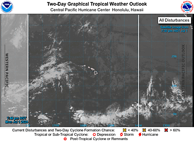
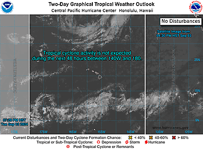
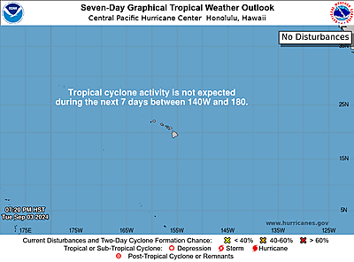
A trough of low pressure well east-southeast of the Hawaiian Islands
is producing a large area of disorganized showers and thunderstorms.
Some gradual development of this system is possible during the next
couple of days while it moves generally westward around 10 mph.
* Formation chance through 48 hours...low...30 percent.
* Formation chance through 7 days...low...30 percent.
Public advisories on Tropical Depression One-C are issued under WMO
header WTPA31 PHFO and under AWIPS header HFOTCPCP1. Forecast
advisories on Tropical Depression One-C are issued under WMO header
WTPA21 PHFO and under AWIPS header HFOTCMCP1.
Forecaster Cangialosi