

000
ABNT20 KNHC 021720
TWOAT
Tropical Weather Outlook
NWS National Hurricane Center Miami FL
200 PM EDT Fri Oct 2 2026
For the North Atlantic...Caribbean Sea and the Gulf of America:
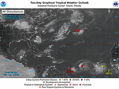
Subtropical West-Central Atlantic (Remnants of Fay):
Showers and thunderstorms associated with a trough of low pressure
(the remnants of former Tropical Storm Fay) located several hundred
miles southeast of Bermuda have become less organized during the
past several hours. Dry air and strong upper-level winds are
expected to prevent significant re-development while it moves
north-northwestward at 5 to 10 mph to the east of Bermuda. Any
formation chances should end by Sunday due to very strong
upper-level winds.
* Formation chance through 48 hours...low...10 percent.
* Formation chance through 7 days...low...10 percent.
$$
Forecaster Pierce/Hagen